6 months of cycling across southamerica
I never thought I'd actually make it this far. I had no prior experiences in bikepacking, so seeing on the map how far we've made it is still a mystery to me! You'll find a few insights into the trip below :)
14
FEB
2024
bikepacking across south america... vamonos!
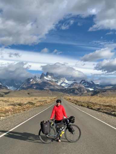
On february 14th our journey began with a one-way ticket to Patagonia, chile. the plan was simple: cycling north.
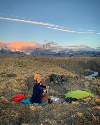
The idea was crossing the south american continent, trying to embrace nature and local culture, find epic wild camping spots, and of course ride some adventurous trails along the Andes.
We wanted to show the world what women are capable of - and inspire others to follow their dreams as well!
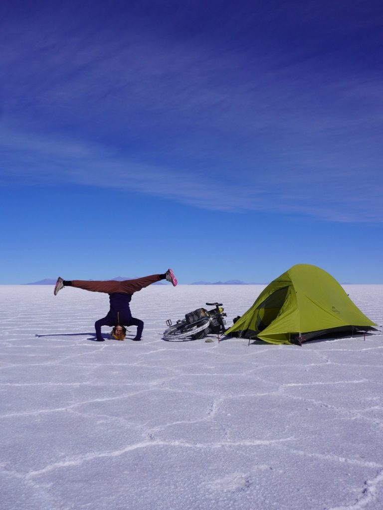
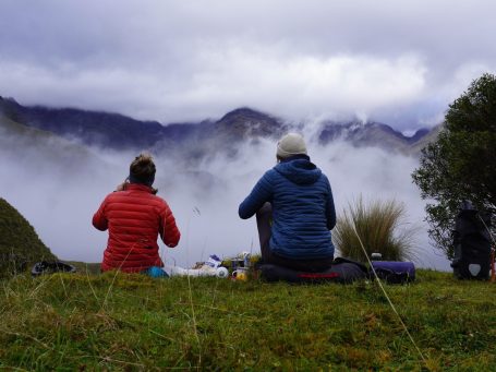


PATAGONIA
Feb '24 - May '24
Wow - how do I put three months of Bikepacking through the vast south of the Southamerican continent in a few paragraphs? This was my first ever Bikepacking trip and there is so much I have learned along the way. There would be hundreds of little stories to tell, but I tried to break down my Patagonian experience into two parts:
1. Surviving the first week on the bike - a little story
2. Logistics: food, weather, water, apps, etc.
1) The first week on the bike
Honestly, I don’t know how I survived. We started our trip in Chile, Puerto Natales, in mid-February. It was the end of Patagonian summer, the weather being unpredictable as usual in this region. Me, Luise and Blanka, my travel companions that luckily knew a lot more about Bikepacking than me, were all pretty overwhelmed with planning our first stretch of the trip… so at one point we just bought food for 4 days and started heading north on our bikes. We would cross through the famous Torres del Paine National Park and were sure that in the park itself or the latest in a village close to the border to Argentina we would find our next refuelling points.
Little did we know that we would be nowhere near an actual store within these 4 days.
Before our critical food situation though, I was confronted with several other obstacles. First of all, starting to cycle everyday for the whole day, without being used to it is really tough - mentally and physically. We had crazy headwinds that pushed us off the road several times on the first day and heavy rains on day 2 which eventually got through all my rain gear layers. In addition to that we rode on pure gravel roads with a loooot of altitude meters - and my body was not used to this. After an extensive hike with over 1000 altitude meters on day 3, my body went on strike. I had sore muscles in all parts of my body and was also starting to feel a bit feverish.
Due to our little remaining food supplies we decided to split up - Luise and Blanka headed straight through the mountains to Argentina with the remaining food, and I would try to find a ride to the town on the border. Fast forward - I had to cycle 40 k to exit the park, was exhausted to the bones, eventually found a ride to the border town where I set up camp at a bus stop because of lacking options for accommodation. By the time I was in my sleeping bag, I had a full on flu with a sore throat and fever.
I luckily found a nice couple in a van that gave me a ride to the next bigger town in Argentina (Calafate), where I would wait for Luise and Blanka. They had only been left with 1 day worth of food, but it would take them at least 2 days to cross the mountains… Of course they survived in the end and even though they now entered the country illegally as they hadn’t passed an official border station in the mountains, we were reunited and could continue together - with a bit more food for the next stretch ;-)
2) Logistics: food, weather, water, apps, etc.
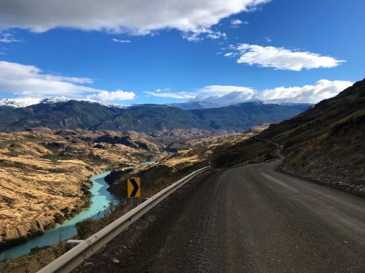
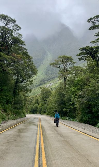
After a few more weeks on the bike - it was now only Luise and me cycling - things started to get a lot more [routiniert]. After crossing back into Chile via Villa O’Higgins we were heading north on the Carretera Austral and later through the Lakes districts of northern Patagonia for the next month (or two?). Here’s our learnings from that time:
- Food: as we cycled through Patagonia in fall, the main season was already over and many little shops along the road were already closed. This was sad, because restocking on bread, veggies or anything basically (like a simple empanada) was really tricky from time to time. Especially in the south of the Carretera Austral, between Villa O’Higgins and Cochrane was practically nothing to get food from - we carried about 4-5 days worth of food in this region. We also tried to avoid eating out in restaurants as it is reeeeaally expensive in Patagonia… food culture in the south of Chile and Argentina in my opinion isn’t the most exciting anyways, so we didn’t feel like we were missing out on a lot by just eating pasta and bread every day.
- Water: that’s what I love a lot about Patagonia. There are clean rivers, lakes, and waterfalls to get water from almost everywhere. I don’t think there was a day that we didn’t pass a water source, so we carried max. 3 Liters per person per day. Usually less, as we’d camp somewhere on a water source anyways. We still filtered most of the water, just to be safe (we had a terrible food poisoning from a Quiche in El Chalten, so we didn’t want to jeopardise the health of our stomachs again)
- Hack to find drinking water: search for “drinking water “ on Organic Maps, and it’ll show water points on all downloaded maps!
- Weather: as mentioned above, we kind of misjudged the Patagonian fall. There is no such thing as ‘the end of summer’ down there as we had imagined romantically before our tip. There will be a lot of rain, a lot of cold and a lot of wind (mostly everything together) in the fall season. Winds are also mainly blowing from north to south, which makes going north really tough (a lot tougher than we had imagined in the beginning).
- Apps: Accommodation or wild camping: iOverlander, Warmshowers, Couchsurfing
- Weather: windy
- Maps: Komoot (planning routes), Organic maps (offline map, just a bit inaccurate with altitude meters when planning routes), google maps (also offline maps!)
©2023 livingintents. Alle Rechte vorbehalten.
Wir benötigen Ihre Zustimmung zum Laden der Übersetzungen
Wir nutzen einen Drittanbieter-Service, um den Inhalt der Website zu übersetzen, der möglicherweise Daten über Ihre Aktivitäten sammelt. Bitte überprüfen Sie die Details in der Datenschutzerklärung und akzeptieren Sie den Dienst, um die Übersetzungen zu sehen.
